Copernicus services catalogue
This catalogue contains a comprehensive list of information products relevant to the various Copernicus services. Click on the check box(es) below to access products or search by encoding relevant keywords.
Published:
'''DEFINITION'''
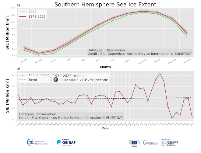
Sea Ice Extent (SIE) is defined as the area covered by sufficient sea ice, that is the area of ocean having more than 15% Sea Ice Concentration (SIC). SIC is the fractional area of ocean surface that is covered with sea ice. SIC is computed from Passive Microwave satellite observations since 1979.
SIE is often reported with units of 106 km2 (millions square kilometers). The change in sea ice extent (trend) is…
Published:
'''Short description:'''
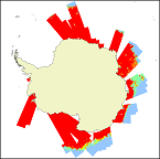
For the Antarctic Sea - A sea ice concentration product based on satellite SAR imagery and microwave radiometer data: The algorithm uses SENTINEL-1 SAR EW and IW mode dual-polarized HH/HV data combined with AMSR2 radiometer data.
'''DOI (product) :'''
https://doi.org/10.48670/mds-00320
Published:
'''Short description:'''
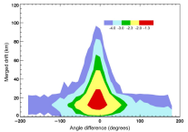
Antarctic sea ice displacement during winter from medium resolution sensors since 2002
'''DOI (product) :'''
https://doi.org/10.48670/moi-00120
Published:
'''DEFINITION'''
Estimates of Antarctic sea ice extent are obtained from the surface of oceans grid cells that have at least 15% sea ice concentration. These values are cumulated in the entire Southern Hemisphere (excluding ice lakes) and from 1993 up to real time aiming to:
i) obtain the Antarctic sea ice extent as expressed in millions of km squared (106 km2) to monitor both the large-scale variability and mean state and change.…

Published:
This application allows users to interactively explore agro-climate indicators relevant to agricultural production in Europe under present climate conditions (1970-present) and as well as comparing future climate scenarios (2011-2100). Projected changes in the climate will impact European agriculture by affecting the phenological development of crops thereby changing cropping calendars. Additionally, detrimental impacts on crop production…

Published:
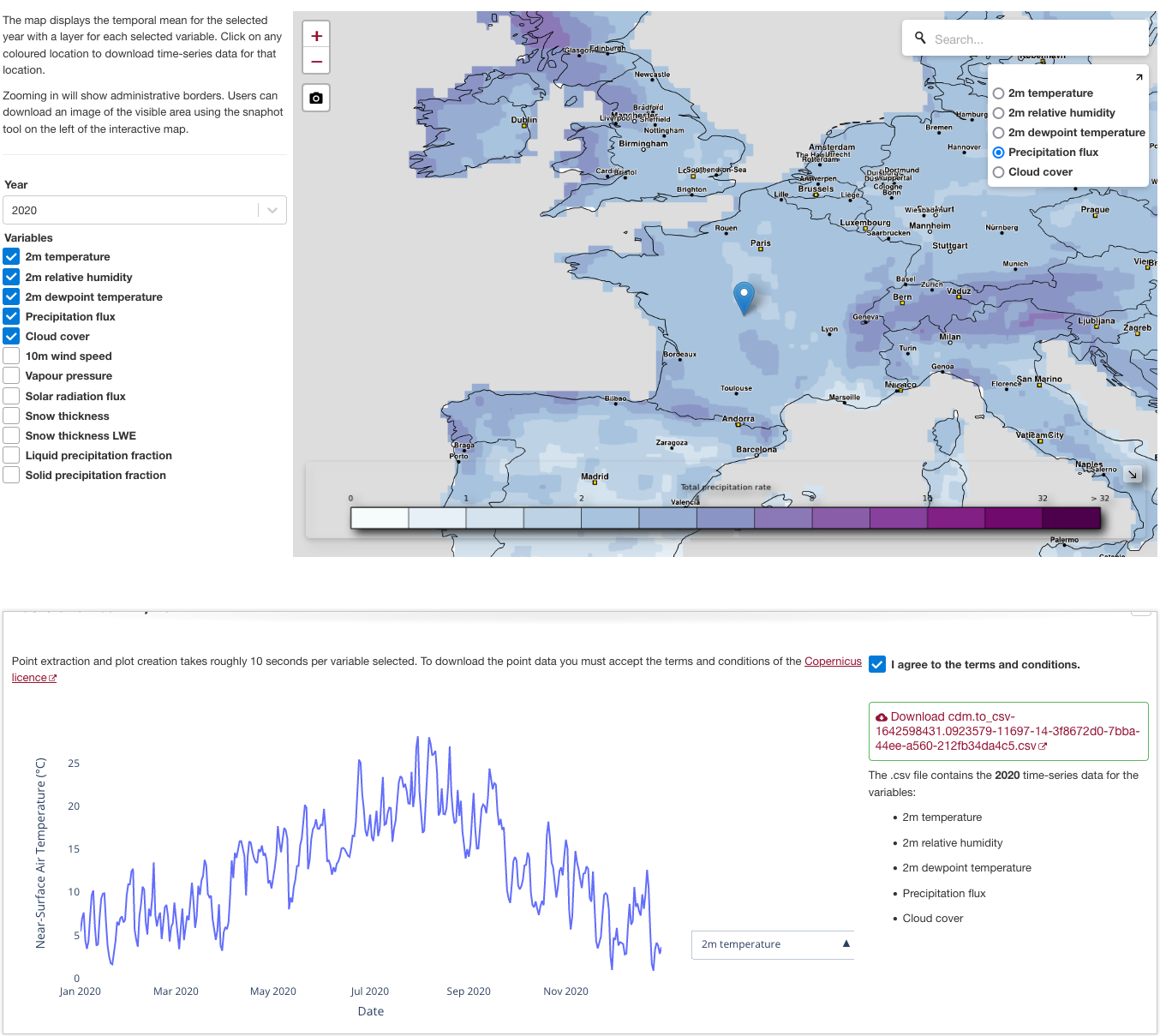
The application is an explorer for the Agrometeorological indicators from 1979 to present derived from reanalysis (AgERA5) dataset with a facility to download data for a selectable point location. The easy-to-use interface provides access to a wealth of data that could be used as input for most agriculture and agro-ecological models.
The AgERA5 dataset is based on bias-…
Published:
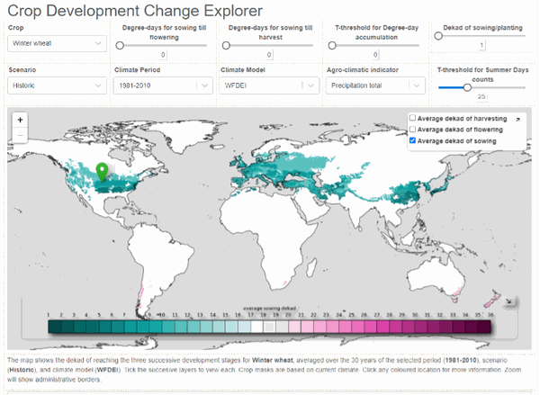
The Crop Development Explorer provides an interface to explore changes in crop development/phenology between historic and future periods as estimated using outout from the selected climate model. Estimates are available for four pre-defined crops (wheat, maize, rice, and soybean) and it is possible to define any other crop by specifying the relevant parameters. The Crop Development Explorer allows users to explore the…
Published:
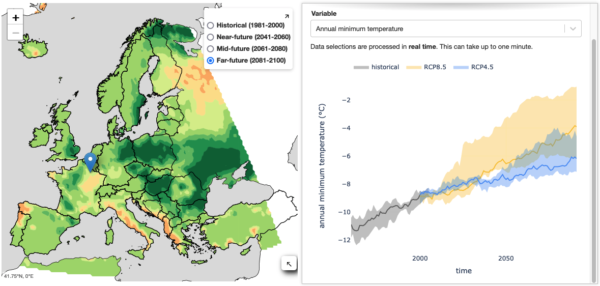
This application explores six bioclimatic variables relevant for grassland conservation and management over Europe, driven by CMIP5 climate projections (bias-adjusted to ERA5) from ten Global Circulation Models. Grassland suitability provides stakeholders within the agro-ecology sector with information about the climate impact on semi-natural grassland ecosystems to support management decisions.
The application's interactive map shows…
Published:
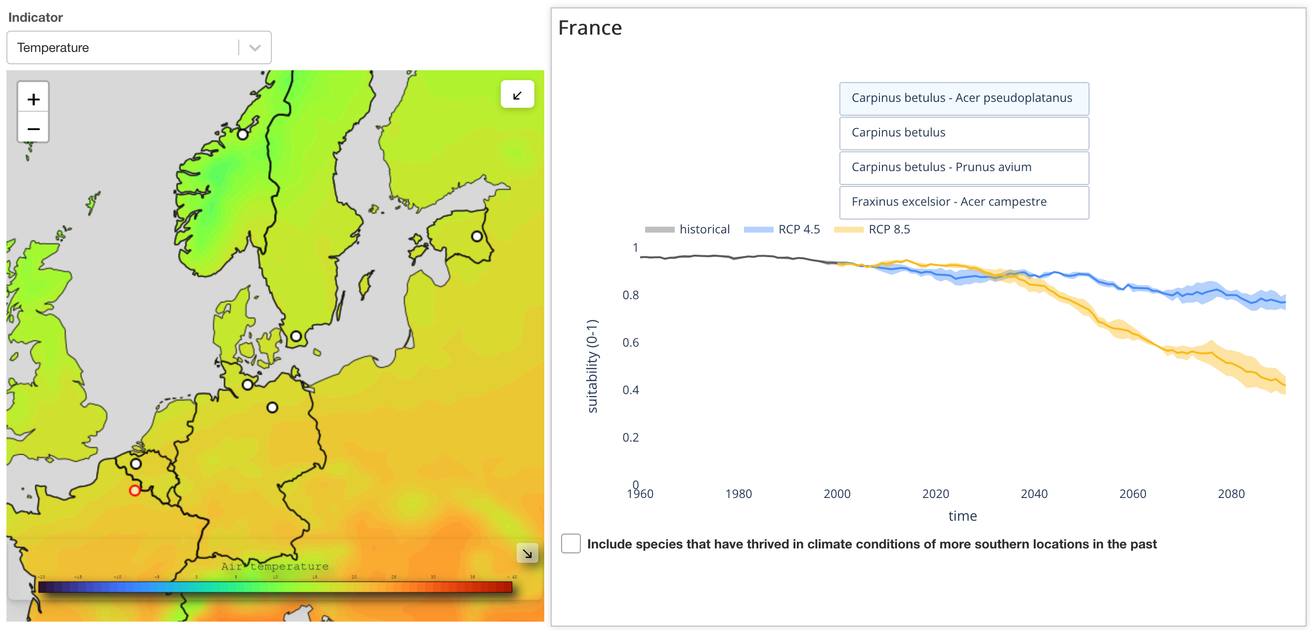
This application explores climate suitability for typical multi-species hedgerows at six point locations over Europe, underpinned by CMIP5 climate projections (bias-adjusted to ERA5) for air temperature and precipitation in the 6-months growing season (April-September). Hedgerow suitability provides stakeholders within the agro-ecology sector with information about the climate impact on hedgerow ecosystems to support management decisions.…
Published:
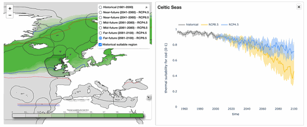
This application explores the thermal suitability for selected fish species habitats over the world’s oceans and inner seas, based on CMIP5 climate projections (bias-adjusted to ERA5) from 10 Global Circulation Models.
The interactive maps show habitat-specific thermal suitability averages alongside sea surface temperature for 20-year time frames (1981-2000 (historical), 2041-2060 (near future), 2061-2080 (mid future), 2081-2100 (far…
Published:
This application allows users to compute and download selected daily statistics of variables from a number of hourly ERA5 datasets.
It provides users with a simple tool to obtain ERA5 data aggregated at daily frequency without having to download the original sub-daily resolution data. The ERA5 data is subset to the selected rectangular spatial region of interest and sampled at the selected frequency. Time coordinates can optionally be…

Published:
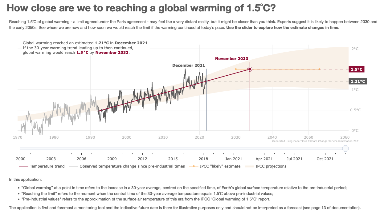
This application monitors the evolution of the global surface air temperature over recent decades until the present and estimates with a simple model (using a 30-year linear trend),
the level of global warming at the date up to which the trend is calculated and the date when global warming will reach the 1.5°C limit of the Paris agreement if the trend continues at that same rate.
The application presents a graphic showing, up to…
Published:
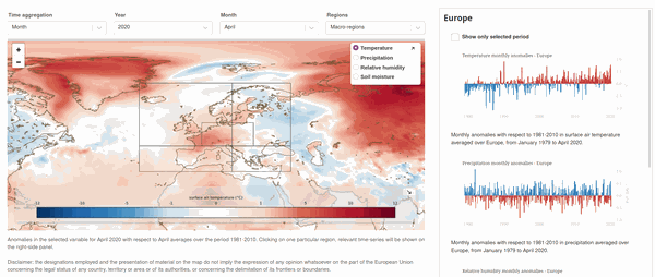
This application delivers an interactive version of the monthly C3S Climate bulletin.
It allows users to explore the dataset on the aggregated regions - the globe, Europe and Europe's macro-regions -
that are covered in the bulletin and on individual European countries.
It presents a global map showing one out of temperature, precipitation, humidity and soil moisture…
Published:
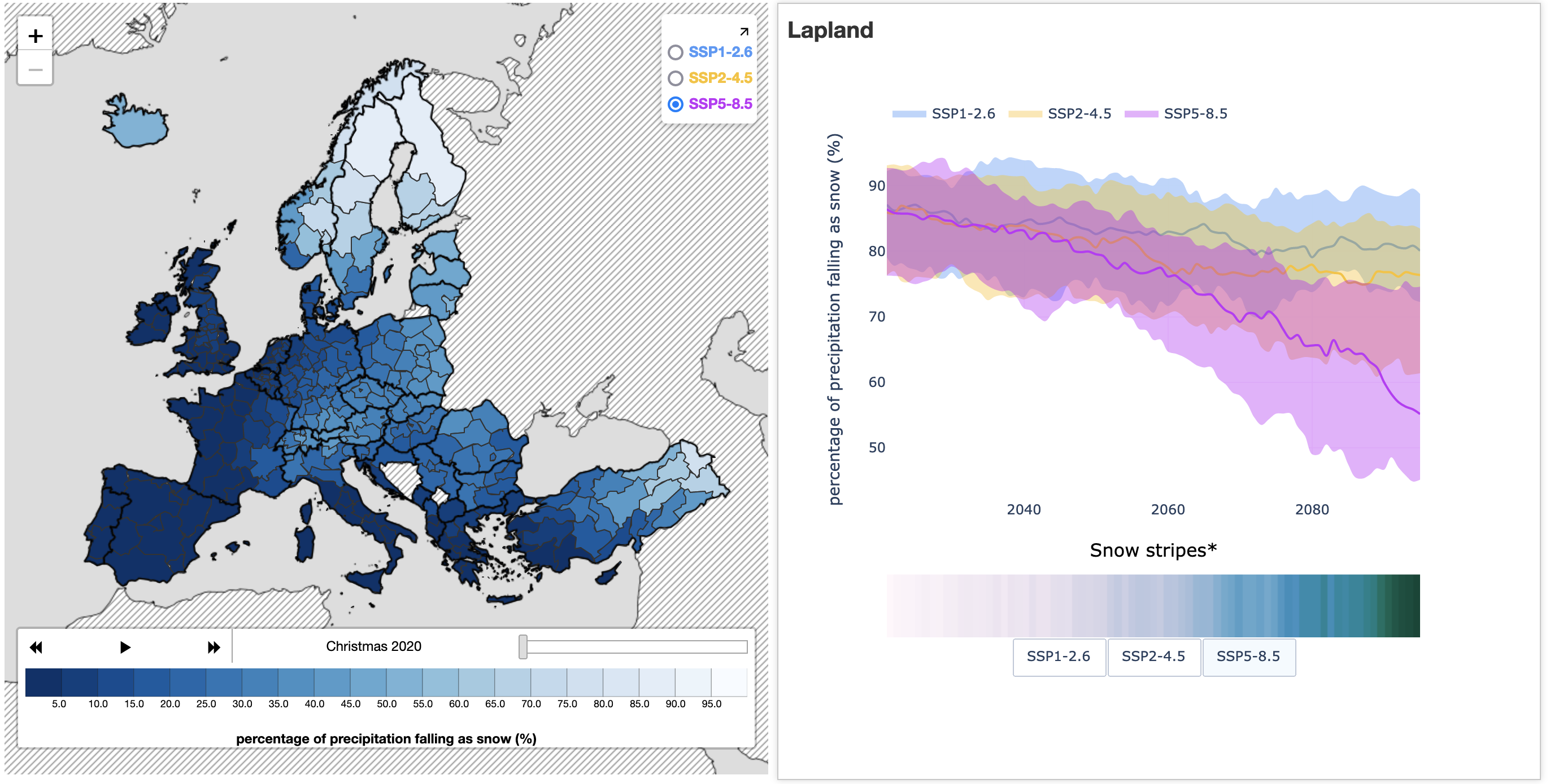
This application explores how the percentage of winter (December-January) precipitation that falls as snow might change over the coming decades, driven by snowfall and rainfall data from the sixth phase of the Coupled Model Intercomparison Project (CMIP6).
Recent studies have suggested that rain may replace snow as the most common precipitation in the Arctic – possibly within the next 50 years. This could have profound implications,…
Published:
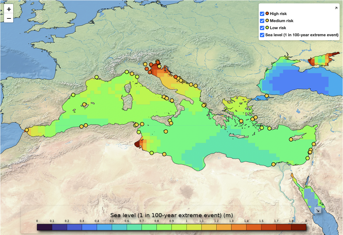
Sea level rise is impacting the Mediterranean region’s cultural heritage. Many United Nations Educational, Scientific and Cultural Organisation (UNESCO) World Heritage Sites in the Mediterranean are situated along the coast and are therefore under increasing risk from coastal flooding due to sea level rise and extreme storm surge events.
The application, developed in partnership with the Union for the Mediterranean, explores the impact…
Published:
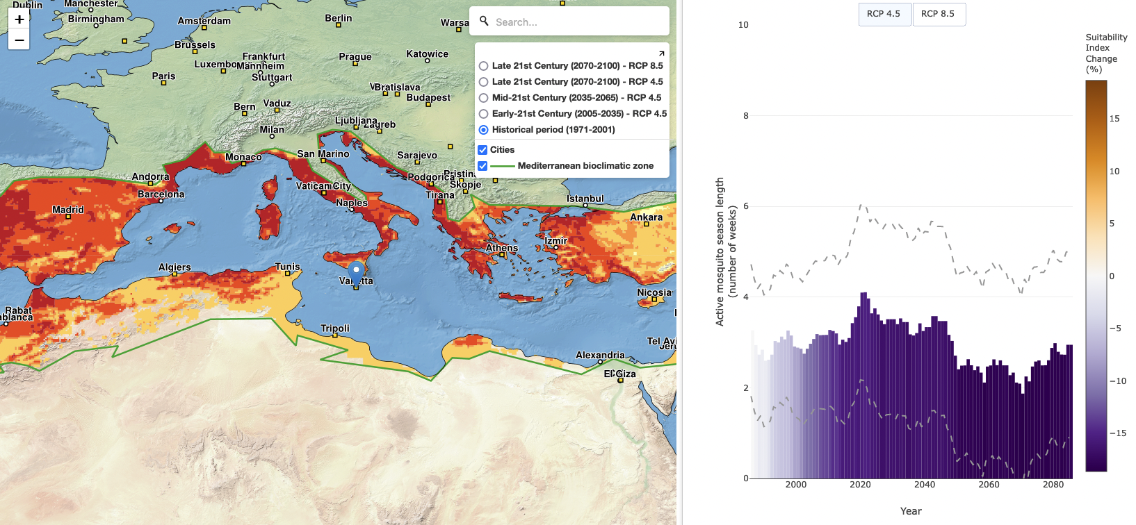
The Mediterranean region is densely populated and is susceptible to the transmission of human disease through air-borne vectors, such as the tiger mosquito (Aedes albopictus). The current changes to the climate have already seen an expansion of the area classified as climatically-suitable for the tiger mosquito, as well as changes to the length of the mosquito's breeding season around the Mediterranean. For example, highland regions are now…
Published:
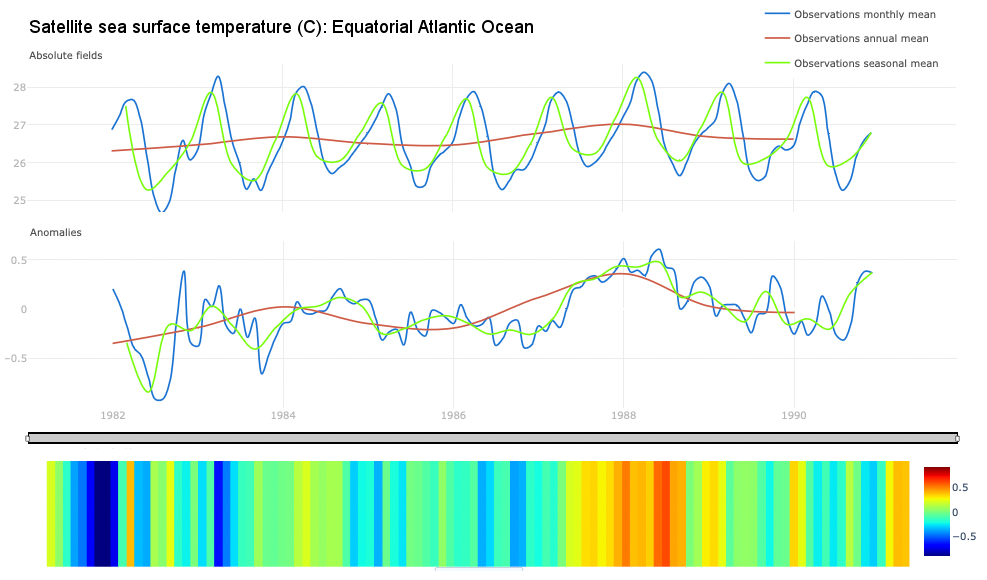
The "Climate monitoring facility: comparing model and observations datasets" is an interactive web based application designed to demonstrate and study regional and global climate impacts of climate change. It allows users to display Climate Data Records (CDRs), including the essential climate variable (ECV) datasets produced by the European Space Agency (ESA) Climate Change Initiative (CCI) ECV projects, and reanalysis products.
The…
Published:
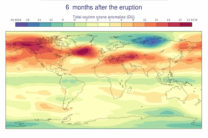
This application provides visualisations of historical climate statistics averaged over spatial and temporal domains, and volcanic eruptions.
Major explosive volcanic eruptions can cause short-term effects on the Earth climate, contributing to natural climate variability on global and regional scales. During such explosive volcanic eruptions, large quantities of ash and aerosols are released into the atmosphere which can potentially…
