For public authorities
Copernicus produces petabytes of data every year. In order to put those at use and benefit the EU citizens, current and potential users need to be made aware of the power of the data and be given the means to harness it in the most efficient way.
As a consequence, many new ideas and concepts in terms of User Uptake are emerging and exciting times are coming for Copernicus users!
One of the objectives of the European Commission is to maximise the use of Copernicus data by and for public end-users, which includes national and local authorities and policymakers as well as civil servants in general.
Based on this objective, a number of actions have been implemented by the Commission such as the launch of the Copernicus Relays and the Copernicus Academy, two networks to serve EU and non-EU citizens, academics, entrepreneurs and businesses and the Copernicus User Forum, a governance structure composed of experts nominated by the Copernicus Participating Countries which advise the Commission on the identification of user requirements, the verification of service compliance and the coordination of public sector users.
The Spanish Ministry for Ecological Transition (MITECO), which is one of the representatives of Spain at the Copernicus User Forum, has identified an underutilisation of Copernicus data and information within public entities due to the limited knowledge of the benefits that Copernicus can bring to the workflow of Spanish public administration.
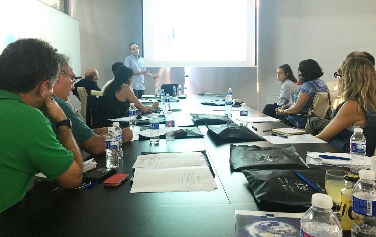
For this reason, and given the fact that training public authorities on the use of Copernicus is one of the priorities for fostering the use of the European Programme, the Ministry is implementing a series of Copernicus User training activities. Since 2017, the Ministry organised, jointly with the Laboratory for Image Processing of the University of Valencia (one of the Copernicus Relays) a workshop dedicated to demonstrating how Copernicus can contribute to monitoring the ecological status of inland, coastal and transitional water bodies, and how the Directorate General for Water could integrate this information into their monitoring and reporting activities.
The workshop, that has become an official training course in the Ministry General Training Plan for civil servants, focus every year on promoting the use of Copernicus; identifying user requirements and potential users (with and without remote sensing knowledge); and assessing potential gaps between the Copernicus services and products and the needs of the public users.
Elisa Rivera Mendoza from MITECO, coordinator of the Spanish Copernicus National User Forum, explained that "a clear proof that we have still so much to do is the limited use of Copernicus products and services by the public administrations which are one of the largest potential communities of users. If the benefits and applications of Copernicus are well known, then the demand for such products will really take off. Copernicus uptake activities in Spain are conceived to ensure that the programme is better known and therefore widely used."

So, why and how can public authorities and civil servants integrate Copernicus data into their water management workflow? Copernicus-derived information can be complementary to in situ information which public administrations are already handling, and be used for reporting purposes such as the national reporting on the quality of water under the Water Framework and Nitrates Directives. Reliable information and variables (e.g. water quality, soil moisture dynamics, evapotranspiration levels, water consumption in irrigated surfaces) have proven to be very useful for public authorities involved in the management of hydric resources. Therefore, imagery from Copernicus Sentinel satellites can contribute to monitoring the natural and available water resources of Spain and serve as an input for the respective river basins and water management plans. Information from Copernicus services can also be of great use, for instance information from the Copernicus Land Monitoring Service to monitor the use of nitrates which end up polluting rivers, lakes and aquifers; Very High Resolution land cover / land use products in riparian areas; as well as coastal water quality monitoring information from the Marine Environment Monitoring Service, etc. The use of Earth Observation data would improve the quality of data used by public administrations. This would have a considerable impact on the management and the decision-making process – as public authorities and civil servants who have more accurate information about natural resources, can take better informed and more efficient decisions, and could simplify reporting obligations vis-à-vis several national and EU directives. Copernicus can also provide information on flood-prone areas. This could serve public administration to improve methods for delineating these areas, and therefore to better assess and minimise the damage in case of flood events. Another takeaway of the session was that public authorities can obtain Copernicus information to monitor mountain ranges and quantify the volume of snow accumulated in these areas. They would be able to spot potential risks of avalanches and floods during periods of rapid thawing. Antonio Ruiz Verdú, from the Laboratory for Image Processing of the University of Valencia, gave his view on the Spanish User Uptake activities and noted that “there are now good examples in Spain of cooperation between the administration and members of the Copernicus Academy and Relays in order to promote opportunities in the Copernicus downstream sector. This cooperation is helping to bridge the so-called Science-Policy gap”. Ruiz Verdú also highlighted that “the University of Valencia is involved in different Copernicus R&D projects with the purpose of transferring this knowledge to end-users of the public administrations”. As a final message, Elisa Rivera also referred to the “great role that universities and leading research centres are now playing, as members of the Relays and Academy networks, since they contribute to promote and build capacity among public administrations on the use of Copernicus products and services”. MITECO organises user uptake activities every year for public authorities and civil servants involved in a wide range of domains such as: smart cities, agriculture, forestry and fires, atmosphere and climate change, marine environmental management (in 2019), biodiversity and ecosystems (in 2019), amongst others.